Please use your device in landscape view.
Glenridge Road
Exploring the Abandoned Trolley Bed
Locals all remember in 2011, when the Glenridge Road construction unearthed the little known existence of trolley tunnels. Detailed Photos of the Tunnel and Construction >
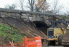
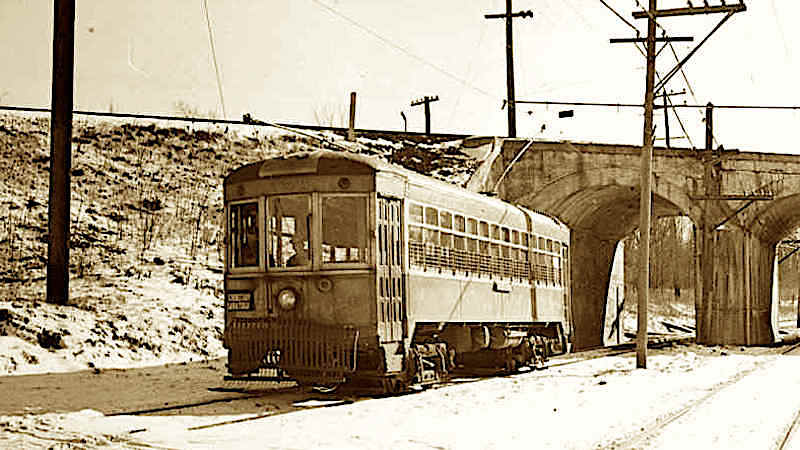
Photo of the Bridgespan/Tunnels from the May 7th, 1904 Street Railway Journal (Source)
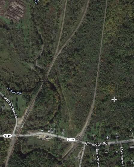
This 1930 Topo Map shows the spot and the aerial view clearly demonstrates the trolley bed still exists.
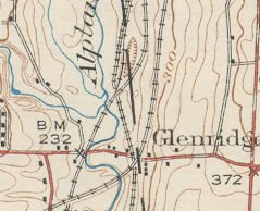
Rollover for details
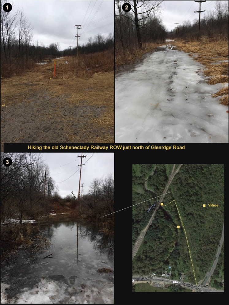
A wet hike just north of Glenridge Road
March 30th, 2014 - Afternoon
It was still a wet and miserable day but my time was limited for doing those excursions so — as long as it wasn’t pouring (and just sprinkling) — I headed out anyway. I parked on Bruce Drive and headed northwesterly on the old trolley ROW and noticed it was marked as a Gas Line. Probably that’s why it is kept cleared and so easily discernible on satellite maps.
Well needless to say, it was swampy and icy. Halfway to the bridge, I shot a video of the Alplaus Kill (see link below). Due to snow melt combined with the all recent rains, it was raging.
As the third photo in the series indicates, I was thwarted at the end because I couldn’t get to the track. There was the 6 inches of standing water so I detoured down to the stream bank and headed to the bridge to see if I could duck underneath. No luck this day— as the second part of the video illustrates! Alplaus Kill - Glenridge Road - YouTube Video >
Acme Mapper > Glenridge Road N 42.86891 W 73.89939
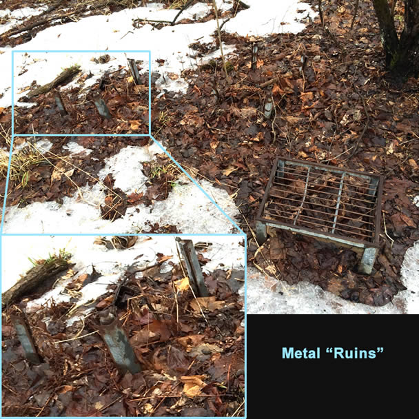
Of course no trek in the the woods on a wet and rainy day is complete without a spill and sure enough... I fell into a side stream and got soaked up to my ankles. At least it was warm out so the trek back to the car wasn’t terrible. On the way out I discovered these strange metal ruins over by the stream, not sure what they were...