History Tidbits
Did You Know?
Parlor Rock, cow tunnels, Tait's Mill, Lake High-High, the Tungsten Mining Company and the Radcliff Shirt Factory are just a few of the history remnants in the Pequonnock Valley.
As in so many New England towns, the story begins with the power generated by the fast flowing river. The first mill along the Pequonnock began turning its wheel in 1702, and industry quickly developed with paper mills, sawmills, and metal working. Where there was industry, transportation had to follow, and when the railroads reached Connecticut, the Pequonnock valley was a natural location.
As water-powered industry dissolved into steam powered factories and industry tended toward urban locations, small rural railroads had to develop alternatives to freight hauling, and the development of resort locations was one answer.
In addition to the scenic beauty of the river with its gorges and white water, the Housatonic Railroad tried to enhance the route's appeal by creating artificial attractions. Parlor Rock was such an attraction, created on a large expanse of flat rock lying at the foot of the waterfall. Croquet grounds, swings, a merry-go-round, a large dance pavilion, picnic facilities, as well as boating were all offered to the individual excursionist and groups, being especially popular with Sunday School classes. Not to be turned off by the seasons, a substantial toboggan slide was in operation by the 1880s. A hiking and biking trail will still lead you to Parlor Rock, but sadly all traces of the amusement park are gone.
The railroad corridor is now abandoned, and the attractions faded but remannts of those days long past can still be found when when exploring the valley...
- Details about the History of the Valley -
Pequonnock Valley - Historical Map Comparisons
Have you ever wondered what the valley might have been like a couple of hundred years ago? (Use the scrollbar to view a chronological map display of the Valley through the years.)
Pequonnock River Valley Timeline (PDF)
An historical timeline of events in the valley from the Ice Age to the Present. In PDF format for printing and off line viewing.
1934 Aerial Photos
Rollover photo to reveal details
Digital images © Connecticut State Library. All rights reserved.
Spillway

(Rollover photo to view highlights)
The runoff from the dam was directed down this rocky channel.
Ice House -1934
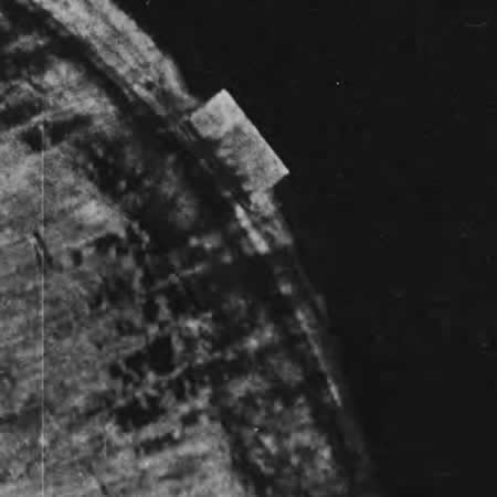
(Rollover photo to view highlights)
Note: this was on the shore of the lake
Paper Mill
(Rollover photo to view highlights)
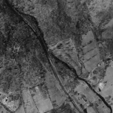
Parlor Rock - 1934

(Rollover photo to view highlights)
The construction of Route 25 obliterated most of this...
Mine
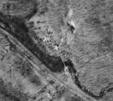
(Rollover photo to view highlights)
This is now Old Mine Park
More Historocal Tidbits
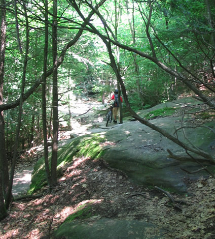
Parlor Rock - the railroad rock cut
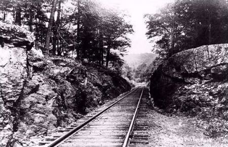
When bike riding on the rail bed north of Whitney Road, this rock cut is still recognizable.
Digital Image Source: www.trumbullhistory.org -
© John Lauria 1996
- Trumbull Historical Society
These rocks have been smoothed and curved by the water that used to cascade across them...